Total Pageviews

Sunday, December 23, 2012

Worst trail in the Park

On Dec. 20, I had enough time for a half day of hiking.  The rain was supposed to start around 1 PM and I had guests arriving on Friday.  I hadn't been able to hike on Tuesday, which was a much better day, because I pulled a back muscle struggling with our Christmas Tree.

At any rate, I wasn't well organized and ended up doing 2 out and back hikes that did not connect together.  First off, I hiked one of my favorite short hikes from Thornton Gap up to Mary's Rock on the A.T.  It was a grey cold day.

When I reached the ridge, the fierce wind chilled me to the bone.  I didn't spend long at Mary's Rock admiring the peasoup non-view

When I got off, I was tempted just to finish up the AT section to Jewell Hollow Overlook but the wind made it so unpleasant on the ridge that I turned around.

When I returned to my car, I decided to drive up to Jewell Hollow Overlook and hike down the Leading Ridge Trail.  If I had given more thought to my day, I should have just gone to Jewell Hollow and hiked the missing AT section plus the Leading Ridge Trail.

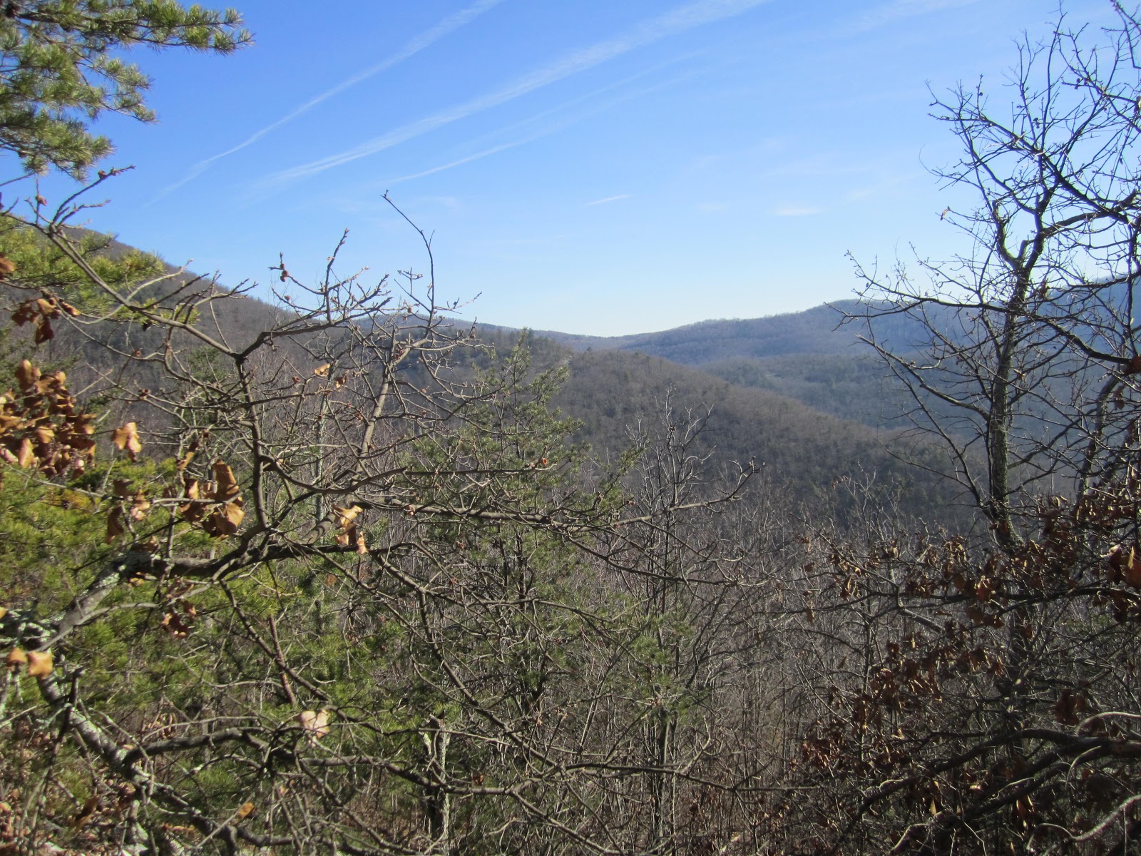
The Leading Ridge Trail is by far the most unpleasant trail I've hiked in the Park.  It's a trail constructed the old fashioned way without switchbacks.  Going down was misery.  In addition to being a steep rough trail, it had a thick covering of leaves which hid all sorts of ball bearings underneath (acorns, small stones, sticks).  It took me 45 minutes to walk a mere 1.3 miles, grumbling all the way and falling 3 times.  The trail leads down to dirt road which (if you know where you're going) can lead you around to the bottom of the Crusher Ridge Trail.  I know this because one of the Vigorous Hikers routes has used this loop.  I was not happy when I reached the bottom.  Slogging steeply up hill (think walking upstairs for 1.3 miles) was better than going down.  I do not intend to hike this trail ever again, even when I do hike the Crusher Ridge Trail.

The best thing I can say about this trail is that after the leaves are off the trees you get some nice peekaboo views of the valley.

Total miles for day:  6.4.  One additional trail

I discovered, in my planning, an uncounted trail in the Central section (neither on the map nor in the Guidebook):  the Rapidan Camp Rd. (0.8 miles) which goes from Rapidan Camp to the Rapidan Fire Road.  It is only mentioned in the Guidebook in the description of the Rapidan Fire Road.  So we're back up to 172 trails and 511.5 miles of trail (both including the AT).

It sounds like snow is going to arrive this week.  I hope I can keep on hiking!


Wednesday, December 12, 2012

One Mile Run in 3.7 miles plus AT

Yesterday, 12/11, was a fine day for hiking.  I started the day by hiking the last side trail in the South District (aside from a 0.2 mile spur trail from the AT to the entry gate in Rockfish Gap).  To hike the One Mile Run trail you need to park at the Two Mile Run overlook and walk south on Skyline Drive a short distance.

The trail is like a secret garden, little used but lovely.  The leaves were pretty deep, indicating that few hikers have pounded them down.  The trail descends from Skyline Drive gently to a gap then more steeply down to One Mile Run, which is a small but picturesque stream.


You can see there are a few select spots for a dip in summer.  As it was, the temperature was rather chilly and my feet were cold and wet from tromping through deep wet leaves.  The trail crosses the stream 12 times before it leaves for the border of the park (marked only by a concrete hiking post).  The PATC map says "no public access" so I didn't continue on the trail past the post.  I met a man dressed all in red with binoculars around his neck.  Santa on his morning constitutional?


I turned around and crossed the stream another dozen times (luckily the water was low) and returned to the car.  I really admire the trail maintainers that keep this trail so well cleared and blazed.  It's hard work for rather few hikers.

Then I moved on the fill a gap in my AT miles by driving up to the South River Picnic area just inside the Central District.  I hiked from there up to Pocosin Fire Road and back.  Aside from some pleasant views north from a rocky descent just before Pocosin Cabin, there wasn't much scenery to oogle at.  I made good time and decided to fill in the gap from South River picnic area to the Saddleback Mt. Trail.  That short stretch went quickly and I was able to get out by 4:30 (the gates now close at 5 pm). 

Total miles for day:  15.2 or which exactly half counts toward the SNAP 500.  One new trail.

379 miles finished out of 509.6 and 128 trails completed out of 170 (including AT).  Of the 41 side "trails" left to go only about half are hiking trails (the rest are fire roads, horse trails, and other roads).  

Miles CompletedTrails Completed

Monday, December 10, 2012

Trayfoot Mt. and Paine Run

Dec. 6 was much colder than Dec. 4.  When I started there was still frost on the ground.  I parked in the Black Rock Summit parking lot, where the Trayfoot Mt. trail starts.  It snakes around and under Black Rock before ascending Trayfoot Mt.  The Trail is much better in the winter than it was over the summer because all the grass is dead and you get much better views. 


The Trayfoot Mt. trail is another ridge trail with views and viewpoints to both sides in winter.  I thought I heard shots to the West and was glad I wore my blaze orange bandanna.  When I got to the Paine Run Trail, I turned right and went out to the park boundary and back.  Then I hiked up.  Paine Run is a small but attractive stream. 


The Paine Run trail itself is an old fire road and thus well graded and wide.  It joined the AT at Blackrock Gap.  Although I was warm walking uphill, when I hit the top of the ridge, it was pretty chilly.  But slogging up Black Rock I got warm again, in part because the sun was warming my back.  I swung around Blackrock for another fabulous view (though I resisted climbing the rocks). 


Total mileage for the day:  10.9; 2 new trails. 

Patterson Ridge, Big Run Portal and Big Run Loop

On Dec. 4 (after a one week hiatus to visit my father in Florida), I hiked a very pleasant loop in the South District.  After paking in the Loft Mt. Wayside parking lot, I went north a short way on Skyline Drive to the Patterson Ridge trail and ascended steeply from the road.  This is a true ridge trail with good winter views to both sides.  It goes up and down a number of high points with some lovely overlooks along the way. 


The day was incredible for early Dec. ... close to 70 degrees I believe.  I hiked in shorts and t-shirt.  I reached the bottom (Big Run Portal Trail) in good time and started up that lovely trail. 
I couldn't tell if Big Run had less or more water than the last time but the few stream crossings I made seemed to have less convenient rocks to step on.


I was even tempted to take a dip in Big Run but decided that was pushing the season a little much. 


 I saw not a soul.  When I reached the junction with the Big Run Loop Trail, I chose the northern half (thus completing that trail) and finally encountered 2 other hikers.  The trail ascends gently uphill to the Big Run Overlook.  Then I walked across Skyline Drive to the Doyles River parking lot to pick up the AT north. 

While the woods were generally brown, I noticed lots of bright pink American Beautyberry and the almost neon purple stems of blackberries.  My camera couldn't quite catch the shocking purple of the blackberries but I tried.


. There were viewpoints en route to Loft Mt. and from the top.  It was in fact a gorgeous day. 


Great hike.  Total miles:  11.3 completing 2 trails. 

I've now gone back to my Excel table of trails to divide up the AT into smaller sections.  Having nixed an AT Shenandoah thru hike because of the broken rib, I'm now going back the recording all the little AT sections I've already hiked.