Total Pageviews

Friday, May 10, 2013

Finally finally finished

Today I finished the last three trails.  Although after Tuesday's oral surgery I wasn't supposed to engage in "exercise", I decided to walk slowly the last few miles of trail that had somehow escaped my notice.  I did check yet again the backs of the maps to make sure I wasn't missing any others.

I started off on the Eaton Hollow trail passing the Schairer Trail Center.  Look at this incredible view from the porch!  Makes you want to go out on a trail crew, no?

Then I continued on to the Argow Cabin, where I worked on a cabin crew in 2008 or 2009.  Another beauty with a fabulous view.

After returning to the car I drove up to Loft Mt. Wayside, parked the car, and walked the paved trail into the campground to the camp store, then the amphitheater, and finally the trail to the AT from the amphitheater.  Many aspects made this an enjoyable hike.  First of all, on the way up to the camp store I saw a gorgeous baltimore oriole (much smaller than I thought and much more brilliant) and a phosphorescent bluebird (see if you can find it!). 


The woods were alive with birdsong.  Second, I was glad, after passing it up twice, to walk the  connector trail from the AT to the camp store.  Finally, the amphitheater was breathtaking.  I sat down to eat my lunch and enjoy the view. 


Then I drove up to my trail to see if the little stream was still going through the 6th waterbar from the south.  Sure enough it looked like a stream to me although it had rained a lot the two days before.


So I'm definitely done.  I'll write another SNAP500 posting about which trails to exclude from future SNAP 500s. 


Tuesday, May 7, 2013

Trailwork and I'm not done yet

The last two weeks I've spent my time in Shenandoah National Park doing trail maintenance on "my" section of the Appalachian Trail (from Skyland Stables to the Passamaquoddy Trail in the Central Section).  On the first trip, with Dick Potteiger as advisor and coworker, we cleared 59 waterbars between the Nature Trail parking lot and somewhere just south of Little Stonyman.  Then this week I went back to clear the remainder of the waterbars (53 more!).  It's a lot of work in the spring and fall clearing waterbars.

One of the very special aspects of "my" trail is the unique salamander species that must be protected on the Stony Man side of the trail.  To protect them I'm not allowed to move large rocks.  There has been an ongoing research program about unique salamanders in the Park for many years.  On the first day of trail work I actually saw a tiny salamander unearthed when I swept away leaves from a waterbar.  I don't think he was hurt. 

What's a waterbar, you ask?  They are the diagonal dams in trails that shunt water off the trail.  Waterbars keep trails from getting muddy and also from becoming streams.  Sometimes waterbars are just dirt berms, sometimes they are logs, and sometimes they are made of stones embedded in the ground.

Here are some before and after pictures of a waterbar on my trail.  The top one is the "before" picture (notice all the leaves and sticks in front of the stone waterbar).  The tool standing up in the background is a McLeod which is the combination hoe and rake used to clean waterbars. 


Now I have a confession to make.  While I was rechecking all the trails (in the book and on the back of maps)  I discovered three I didn't do for the SNAP 500 (the Eaton Hollow Trail, which I previously hiked when helping construct the Argrow Cabin) and the two paved trails within the Loft Mt. Campground.  I will do them this week and then be totally totally finished. 


Wednesday, April 17, 2013

Late surprises and the finale!

On Monday, April 15 I hiked the remainder of the side trails I was missing in the South District of SNP.  That included, the dreaded Gasline Road which turned out to be a pleasant walk and quite interesting because the controlled burn had just passed through.  I parked at Sawmill Ridge Overlook and walked south on Skyline Drive to the road.  It was warm but drizzling.  I had driven through peasoup fog all along the SD.  The air wreaked of burned wood.  The Gasline Road itself has tire tracks but is overgrown in the center strip.  To both sides were blackened and naked ground for most of the way.  I had to walk through one stream at the bottom to reach the gate but the water felt cool.  I was delighted to see the wildflowers just starting to bloom. 


After returning the car I drove a short distance to Jarman Gap to pick up the Bucks Elbow Road.  Billed as 0.6 miles it turned out to be much shorter (0.3 miles by the concrete post).  Perhaps this road would be worth it if you were hiking all the way to the radio tower on top of Buck's Elbow Mountain (which is outside SNP) but it's certainly not worth the trouble for itself.  I've corrected the excel table.  It was still drizzling.


Then on to Beagle Gap.  The fog had lifted a little.  I hiked up the AT to the Bear Den Mt. Road then downhill to the Park boundary, having to take my shoes off for two stream crossings.  This part was not at all worth the walk.  Gravelled and used for frequent vehicle traffic, it's not worthy hiker use.

 It does run along a nice brook at the bottom but that's about all I can say for it.  It does provide access to Bear Den Mountain from the west side (assuming there's somewhere to park outside the formidable gate at the bottom). 


 The top part, from the AT crossing up to the radar installations was great.  Every so often the clouds lifted and I could see the valley to the east.  The top was socked in. 


Once at the top, I wasn't sure whether the road ended there or not so I followed the road down to Skyline Drive.  Another dreary road walk.  I was surprised to see at that end that the road is not in SNP (the sign suggested it is Virginia state land).  Once I got back to the height of land, I took the AT north passing by the tractor seat art installation and returning to the car by the quickest route.   Got some views to the west as I descended through the field.


On my way out of the park I stopped to complete the "Rockfish Gap Spur Trail" which turned out to be not anywhere near it is portrayed on the map.  After inquiring at the entrance station I found a relatively new trail that connects to a pulloff area just south of the station.   Not worth including in the SNAP500. 

My final side trail of the SNAP500 was also the strangest.  The Stull Run Fire Road is disconnected from the rest of the Park.  It connects a small public road with a small private road near Grottoes, VA.  There is no real parking at the bottom so I pulled over at the side of VA 659 just after the stop sign.  The guidebook says it is useful for accessing some areas for bushwhacking.  It is a very flat overgrown fire road that crosses two brooks (I didn't have to remove my shoes).  It was perfectly pleasant but it felt a little bit like being in suburbia since private land comes fairly close.  I was surprised to see, at the end of 663, a well marked parking area for the Madison Run Fire road.  Imagine that!


I spent the night in Harrisonburg (an AT Community) so I could get an early start on my last day. 

My last miles of the SNAP 500 were on the AT.  Blissful had generously agreed to hike it with me but in the end she provided a much needed shuttle up to Loft Mt. Wayside, drove back to Swift Run Gap, then started hiking south on the AT to meet me.  Because of her generosity we didn't have a long car retrieval shuttle at the end of the day.  Another day of pea soup fog.


I started up the Frazier Discovery Trail and was dismayed to get no view at all from the rock ledges at the top.


Then I took the AT north.  A few views along the way but mostly I was in the clouds.  The bloodroots have just started to bloom and they were lovely.


The last blue sky I saw until the very end


I met three southbound AT section hikers.  And I saw a bear as I was heading up Flattop Mountain.  First I heard it crashing around so I stopped.  Then as I started making noise the young guy took off and all I saw was his rear end.  Blissful and I met up as I was descending from Flattop Mountain.  We continued on until Smith Roach Gap where we stopped for lunch.  A northbound AT section hiker met us in that section.  After lunch we went up Hightop and I was sure the cloud would lift by the time I got on top.  No views of any sort.  So we bopped down the rest of the way to Swift Run Gap and I finished the SNAP 500.


Although it took me more than a calendar year, I figure I completed the trails in 52 weeks of hiking (having taken off many weeks for other hiking, family vacation, visiting my father, and my broken rib).  So not too bad.  I'll be making a suggested revision of the SNAP500 list for future hikers.  To be posted soon. 

Wednesday, April 10, 2013

Bloodroots, wet feet and surprise trails!

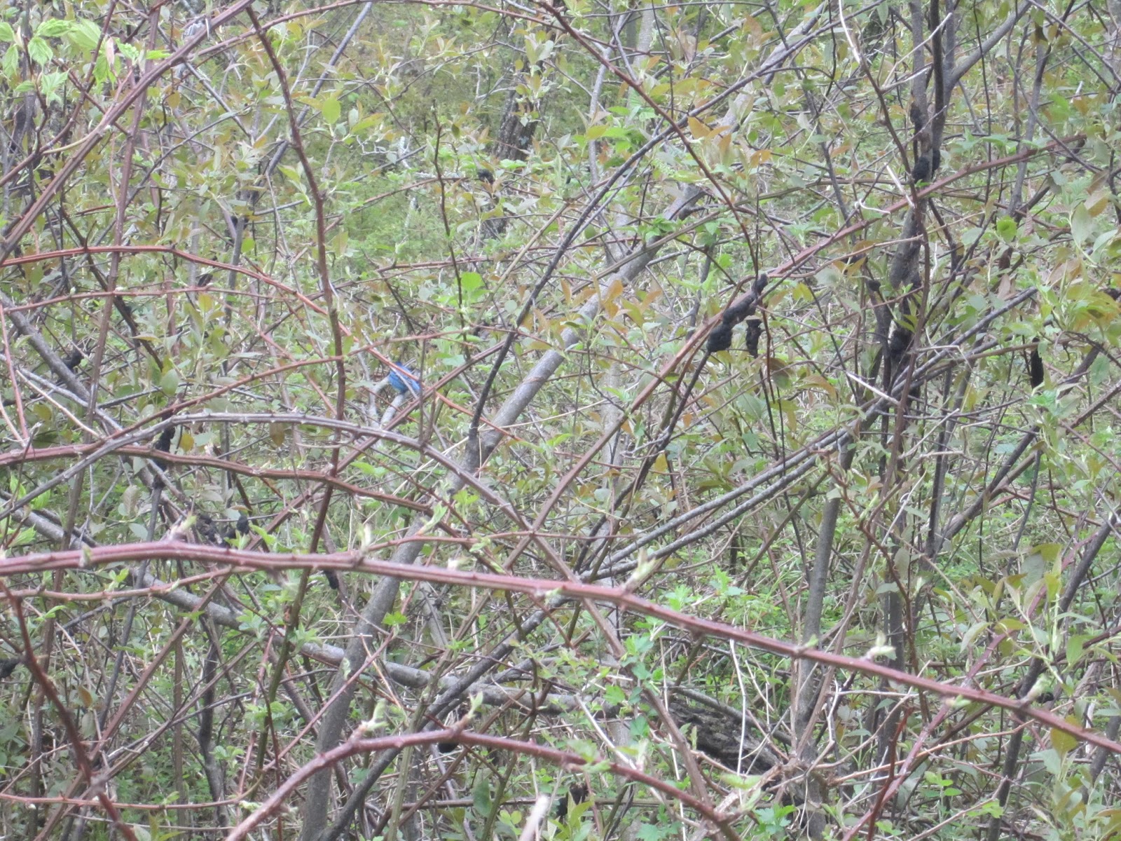
Well today I finished the Central Section completely.  I started by hiking the remainder of the Graves Mill Trail (yellow blazed) along the Rapidan River.  What a lovely trail and it was chockablock with bloodroots.

bloodroot


I had thought I could keep my feet dry on this trail but my first trail crossing (over the Staunton River) I slipped and got one foot wet.  Then when I discovered I had left the bottom part of my hiking pole in the middle of the stream, I got my other foot wet going back to retrieve it.  From then on I just waded right through the stream crossings.  

About 8 minutes above the Stuanton River crossing you come to a fabulous swimming hole.  A good thing to remember if you do the Bear Church Rocks/Jones Mt./Fork Mountain loop in the summer.  Saw many swallowtail butter flies, orange with brown spots, and some more of those sable with cream tipped butterflies.  

Swimming hole on Graves Mill Horse Trail

Swimming hole on Graves Mill Trail


The trail ascends steadily from the parking lot on VA 662 to the junction with the Rapidan Fire Road.  Just before the RFR, there is a stupendous swimming hole.

After returning to the car, I drove over to Fletcher VA which isn't far as the bird flies but a definite drive by roads.  There I parked along the side of the road (they've trucked in enormous boulders all over the place so it's hard finding legal parking) and walked up the road a ways to the start of the Conway River Trail. 

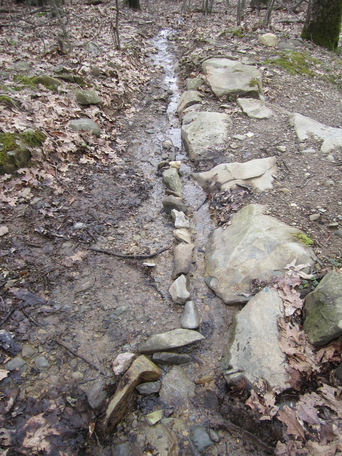
Right off the bat I had to wade in the stream.  By that time, I didn't care.  The day was really hot and there are no leaves yet so the cool water felt great.  The section between the road and the Slaughter Trail is partly on private property and partly in SNP.  Then, after the Slaughter cutoff there's a wide ford -- no dry feet.  The route is obvious (it used to be a fire road on old maps) but there are lots of trees fallen across the path.  It makes me grateful for all the trail maintenance work PATC does on its trails.  It wasn't clear whether I was in SNP or in the Rapidan Wildlife Management Area.  There were some SNP blazes and some RWMA signs.  The trail ascends steadily paralleling the lovely Conway River.  Lots of little waterfalls, dipping pools and even swimming holes.  I ran into some fly fisherman close to the top and by chance one caught a small fish (trout?) just as I passed.  Just when I was losing hope (and doubting I was on the Conway River Trail), the trail ended with an SNP milepost and the Conway River Fire Road was across the river. 

Along the way I saw a lot more bloodroot and hepatica, which was lovely. At the end of the day, I don't think the Conway River Trail "counts" in the SNAP 500 since it appears to be an RWMA trail.  I'm awaiting word from PATC on this. 


Hepatica


The most disturbing part of the hike was the transformation since my last pass through (hiking the Pocosin Hollow/AT/Slaughter loop) of the area by the "Conway River Timber Farm", a "Stewardship Forest".  They have trucked in an impossing number of huge boulders to block off the property, dug many roads, and clearcut large swaths of forest.  What kind of "stewardship" is that? 

Imposing stone wall

New logging roads

Clearcutting


Before leaving I used my odometer to measure the road walk from Conway River Trail to the path to the Pocosin Hollow Trail (1.0 mile).  

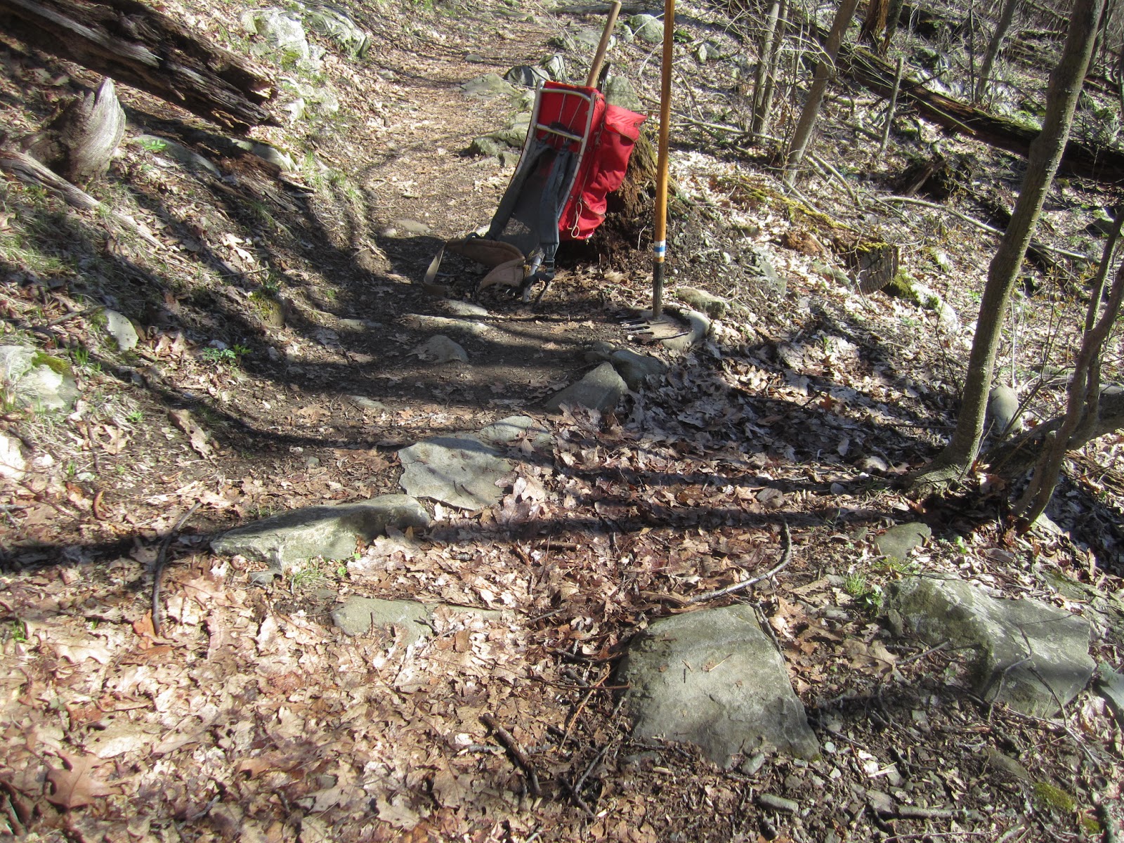
Then I picked up stakes and drove up to Skyline Drive and the South District to hike on what the map bills as two fire roads but which in the Guidebook turn out to be one road.  I walked down the lovely and infrequently vehicled Beldor Fire Rd. (heretoafter referred to as Simmons Gap Road, west side).  On the way back, my wrist became really painful.  I ended up carrying my trekking poles.  After returning to the car I kept on going to the east side.  Passed the Ranger Station and trotted down to the SNP border on that side.  It was really hot.  My wrist was killing me so I took a couple of Advils.  

Simmons Gap Rd. west side (previously known as Beldor Fire Rd.)

Simmons Gap Rd. east side (previously known as Simmons Gap Fire Rd.)
Then, since it was only 3:30 I drove north to Lewis Mt. Campground (the cabins and store are now open!) and trotted up to Lewis Mt. (not to be confused with Lewis Mt. in the South District).  Without trekking poles I walked the one-mile trail up to an nice viewpoint, taking the time to cut away a couple of limbs that had fallen across the trail.  

View from Lewis Mt. (Central District)
I took a couple more Advils when I got to the car.  I think my wrist has carpal tunnel syndrome from the walking sticks.  I'll have to lay off them for a while.  

A good day in which I completed 5 trails (that may turn out to be 3 trails), 15.8 miles of hiking, 7.1 miles of new unique SNAP mileage.  Assuming Conway River Trail still counts but that Beldor FR has been incorporated into Simmons Gap Rd. then there are 171 trails and 504.6 miles in the SNAP 500.  

Trail Miles CompleteNo. Trails Completed