Total Pageviews

Thursday, January 24, 2013

Northernmost miles

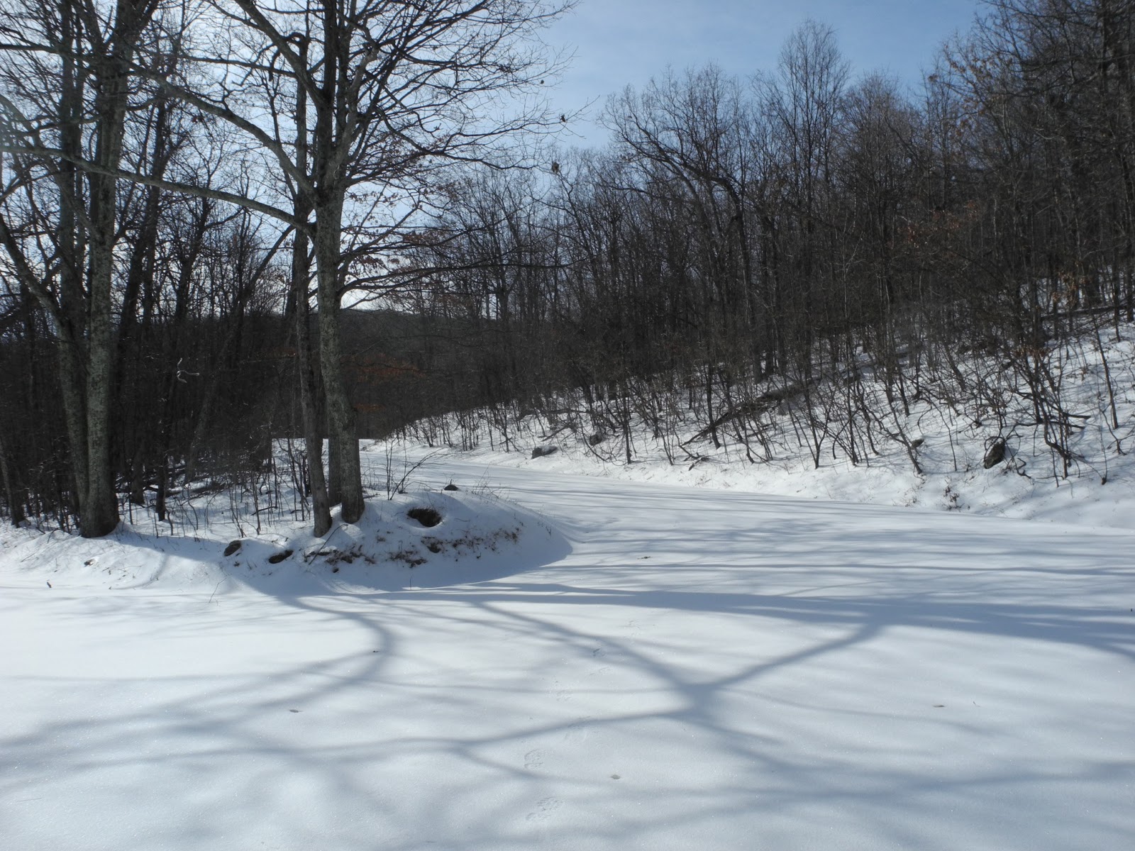
Last night it snowed a bit and it was still snowing when I got up this morning.  I had hoped to do a nice long hike in the Central section but between the messy streets near home and the unknown condition of roads and trails out there, I decided to leave late and do a half-day hike in the most accessible section of SNP.  So I drove to Front Royal, parked on the side of US522 where the AT crosses, and hiked up from there.  This section was quite familiar to me because one of my standard getting-in-shape hikes before my thru hike had been to hike from 522 to Compton Peak and back, usually with a full backpack.  But I had never hiked it in snow before.  Winter and snow transform the woods into a wonderful and different place.  The air feels clear and clean. 

It was a very chilly day (probably 20 when I started) and quite breezy.  So I bundled up -- overboots, down mittens, 4 layers plus wind/rain jacket, hat and neck gaiter.  The sun was out only part of the time.  As I hiked I heard trees all around me groaning and cracking.  I figured it was only a matter of time before one fell. 

I was the first (and only) hiker on the trail from 522 to Possum's Rest.  There was between 1 and 2 inches of light fluffy snow when I started. 


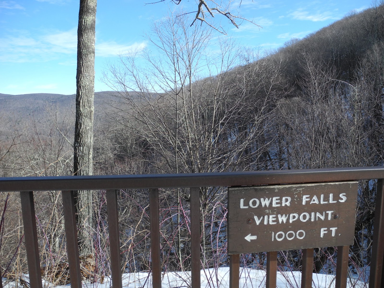
As I climbed, the wind seemed to increase and it was quite cold when the sun went behind clouds.  The view was gorgeous from Possum's Rest but I hardly tarried because of the cold. 

View from Possum's Rest

View from Possum's Rest
I passed the kiosk showing the entrance to the Park and who we have to thank for the terrific condition of the trails and continued on until I reached the junction with the so-called Compton Gap Horse Trail (which is mostly the AT except for a 0.5 mile extension down to Chester Gap).


My main reason for rehiking the section from Harmony Hollow Connector to that junction was that I lacked that 1/2 mile of horse trail.  So instead of following the AT to the right, I turned left and hiked down to the SNP boundary at Chester Gap (at least the road).  Then I hiked back to the Tom Floyd Wayside to make myself some Gatorade and sign the log book.  Once again I was extremely thankful to the trail crews who built such wonderful rock steps up to Possum's Rest and all the switchbacks.  Thanks PATC! 

Tom Floyd Wayside
It was so cold that there were ice crystals in my Gatorade.  It was too cold to eat lunch so I just hoofed it back to the car.  Interestingly enough, although the temperature was well below freezing, by the time I climbed up the hill around the National Zoo property, much of the snow on the south facing slope had melted or sublimated.  I was doing fine on the final stretch when all of a sudden I tripped on something and fell flat on my face. 

I was struck by the nature of the trail near to 522.  This is one of the few places on the whole AT where you are walking essentially in people's backyards.  Except when walking into trail towns, the only other place I know of like this is near Vernon and Union, NJ.  It's amazing that the AT is as remote as it is, given the population density on the east coast. 

Total mileage:  8.6 miles; one new trail


Tuesday, January 22, 2013

Hoover Camp and surrounds

At last Skyline Drive opened again and I took advantage of the opportunity to do some hiking near Big Meadows.  Because I wasn't sure about the condition of trails (snow?  ice?), I chose to walk mostly on Fire Roads and Horse Trails, stocking the back of my car with crampons and overboots.  Parking at the Rapidan Fire Road parking lot near Big Meadows, I walked all the way to the bottom of the fire road (to the Park boundary gate, where it becomes a public road).  I was taken aback by the change since I was last there:

Here's the junction with the Stony Mt. Trail

While two weeks prior the Rapidan FR had looked like this

Last week it looked like this


It made for quick walking.  There were glimpses through the trees over to Old Rag,

It was quite cold and windy when I started up at Big Meadows, but walking down the eastern side in the full sun warmed me up a bit.  Still, it was close to freezing and there was plenty of ice.


When I got to the Park boundary I turned back around and retraced my steps 0.4 miles to the Rapidan Camp Road (which is not included in the Guidebook or map but deserves mention because it's useful for circuit hikes so I've added it to the Excel table).  When I reached Hoover Camp I poked around a while and sat down in a sheltered spot in the warm sun to eat an early lunch.

Hoover Camp (Brown Cabin?)


Stream next to Hoover Camp probably good for fishing and dipping
Then, in anticipation of a future circuit hike to the south, I decided to walk out the Laurel Prong trail until the junction with the Fork Mt. Trail.  Then I turned around, stopping en route to tour the "5 tents camp" (no tents).  Then I returned to the Rapidan Camp Road and took it to the Mill Prong Horse Trail.


The Mill Prong is a lovely book with many cascades and lots of spots you can take a dip.

At the junction where the Mill Prong Horse Trail divides from the Mill Prong Trail, I took the horse trail to its end on the Rapidan FR then returned to the Mill Prong Trail and ascended to Milam Gap.  From there I took the AT to the Lewis Spring Road and thence back to my car.  The first time I went by the Tanner Cemetary (on Tanner Ridge Administrative Road) I must have completely missed it.  But it's right off the AT and I'm sure it was there on my thru-hike.

Interestingly enough there were headstones for Cave (see last week's hike) and Weakley (presumably related to Weakley Hollow on the other side of the ridge). 

 I finished early enough to go back and finish the Dark Hollow Falls trail down to the top of the lower falls and back.  Dark Hollow Falls were full and noisy.


I had wanted to capture the Black Rock trail near the Big Meadows Lodge but the roads were closed.

Total for day:  14.8 miles of which 12.5 new and unique.  Finished 5 trails and added sections to 2 more.  

Trails CompletedMiles Completed


Friday, January 11, 2013

Roaming around Big Meadows

Yesterday (Jan. 10), at long last, SNP opened part of Skyline Drive and luckily it was the Central District where I need to hike trails.  So I decided to hike around the Big Meadows area. It was a warm and lovely day.  I parked at the Fishers Gap overlook.  I had prepared myself for the worst this time.  Since last week I had procured some instep crampons (Hillsound Cypress 6).  I started to go down the Rose River Fire Road and immediately had to put on my new crampons.  They worked great!  Not only do they function like regular crampons, the straps are super easy to put on, take off, and adjust.  And they're much better than the cheapo microspikes.  

The first interesting thing I ran into was the Cave cemetery.     


The snow was pretty solid but as I walked I started breaking through in sunny spots.  The Rose River Fire Road was pretty solid even though the woods beside it were sometimes bare.


Here are my new instep crampons.  They have six points.


I walked all the way down to the junction with the Stony Mountain Trail (where I left off last week) then backtracked to the Dark Hollow Falls Trail.  I was the first hiker since the snow to ascend the Dark Hollow Falls trail and I really appreciated my crampons there!  The falls were lovely.  I stopped at the overlook, thinking it would be easy to hike down and back from the Dark Hollow Falls parking lot another time.


After returning to the Rose River Fire Road, I then took the Rose River Loop trail.  I spied what looked like a baby daddy longlegs on the snow.


That stream was lovely and would provide many dipping spots for the warm weather hiker.  I needed my crampons on that steep trail too because only deer had broken the snow crust.  There were lots of blowdowns, though, and I fell on my face trying to get over one.


I was delighted at the low point to find that there was a bridge across the stream.  As soon as I crossed the stream and got out of the shadows, the snow disappeared.  So I took off my crampons.


Pretty soon the trail was bare dirt.


Wouldn't you know it, though, when I got to the beautiful overlook of Rose River Falls, I had to negotiate an icy hard frozen patch (I was too lazy to put my crampons back on).  The falls were lovely and a couple of nice pools bracketed it.


Then, as I ascended, the snow got deeper but it was mushy and didn't require crampons.  It did require extra effort because for each step up I sank back 2-3 inches.  Pretty soon my wet feet got cold so I put on my winter overboots.  I noticed that the trail distances in the book and on the back of the map double count the 0.9 miles of trail shared by the Skyland/Big Meadows Horse Trail and the Rose River Loop so I subtracted 0.9 mi. from the length of the Loop for my Excel table and the total for the Park.

When I returned to Fishers Gap I ate half my lunch and decided to hike the Skyland/Big Meadows Horse Trail to Big Meadows.  That was very tiring.  Every step caved in.  When I finally reached the stables I continued on the Tanners Ridge Horse Trail (to finish that trail) as far as the Lewis Spring Rd.  I descended the road to the AT where I encountered 2 hikers out for a 5 day backpack on the AT.  Hearty souls!  I took a picture of them with their camera then continued on the (unbroken) AT north.  As I was ascending, I met a couple of hikers coming down.  They were doing a circuit from Milam Gap.  Somehow I missed the cutoff to Black Rock while ascending (Rats!  I missed picking up that trail).  The going got a little better because the trail was broken.  Then, after the cutoff (somehow I didn't add 2 and 2 together to deduce that I'd missed the cutoff) I was back to breaking trail.  Luckily the snow was perfect after cresting the ridge.  Not icy and strong enough to hold me up.

I continued north on the AT around the various parts of the Big Meadows complex and then down virgin trail  through the woods.  It was absolutely lovely!   Just after passing the cutoff to the parking lot, I ran into a really icy patch and had to put my crampons back on for the last 100 feet of trail.  I finished at the Red Gate Fire Road, tramped up to Skyline Drive and back to my car.

Total miles for the day 9.6 (it felt like more!).  3 trails completed and sections of three more added.

Thursday, January 3, 2013

Rose River FR circuit

I have to admit that I failed in my quest to hike all "500" miles of "trails" in Shenandoah National Park in 2012.  I intend to finish them up just as soon as I can in 2013.  It looks, though, as if we might actually get a winter this year so this may take awhile.

I now have a greater affection for hiking fire roads in the winter.  Because Skyline Drive was closed due to snow and ice, yesterday I drove to Syria, VA, parked at the end of VA 670, and hiked up the Rose River Fire Road.  I got a fairly late start (10:20) because I wasn't sure I wanted to go out hiking so I didn't get up at the crack of dawn.  The day was quite cold.  I'd say it was just about freezing when I started and maybe mid- to upper-thirties when I finished.  As the day went on the sun came out more and more.  There was little wind, luckily.  I used my new overboots (Neos) over my trail runners which kept my feet warmer and dryer.  I forgot my orthotics but my feet were fine anyway. 

The Rose River is really lovely, especially in winter. 

Rose River from RR Fire Road
Although there had been little snow on the ground approaching the trailhead, it started accumulating on the dirt road that began just outside Syria.  The Rose River Fire Road goes gently uphill.  There was about 2-3 inches of snow with a crust on top and some icy patches.  Another party (or two) had walked my route in the snow (probably on New Years Day) and it was clear that their footsteps had melted and refrozen, at least at the bottom of the road.  I love hiking in winter where you can see where other hikers have gone.   It makes me feel as if they're along on my hike too. 

As the road rose, the temperature dipped (even though the sun peeked out from behind the clouds occasionally) and by the top of the FR, where I took the Stony Mt. Trail, I was walking on top of the snowpack and hardly leaving footprints.  The Stony Mt. Trail continues going up but my predecessors had broken up the snowpack some so that I could get a good footing.


I stopped to eat a sandwich at around 12:50 when I reached the Rapidan Fire Road.  The RFR was absolutely gorgeous!  Perfect for XC skiing or sledding.


There were no icy spots and I only rarely broke through the crust.  It was delightful to walk on top of the grainy surface.  I rapidly made it to the junction with the Upper Dark Hollow Trail and toyed with going out and back 2 miles on the Rapidan Fire Road to the Park Boundary.  But I decided against it because I figured it would get me back to the car after 5 pm.  As it turned out, it was probably a good decision because the Upper Dark Hollow Trail was treacherous.  No sooner had I started down the trail than I slipped and fell.  The surface was a slick and it was hard to break through the crust.  Using a combination of stamping and sliding on my rear end I slowly made my way along the trail.  At one point the trail becomes more like a road and some giant vehicle had come in as far as a downed tree, digging up mud and snow (which subsequently froze).


It was pretty hard finding a sure footing for that stretch.  Then, when the trail left the road to descend  steeply, there were large stretches of hard icy crust and I had to slide down but I was worried about sliding off the trail into the woods.  As it was, I had only my convertible pants on without any long winter underwear underneath.  So my rear end was getting frozen.  Note to file:  bring crampons/creepers/microspikes plus rain pants on winter hikes.  It was a pretty nerve wracking stretch.  Finally, after a few stream crossings, I made it back to the Rose River Fire Road which by now was fairly soft and slippery.  It had taken me 1:20 to go just 2.2 miles!  The Fire Road was dotted with wet icy spots which made the walk out adventuresome.  Plus there were a number of downed trees along the way.  I made it to the car by 3:20.

Total mileage for the day:  10 (8.7 unique miles); 2 new trails completed.